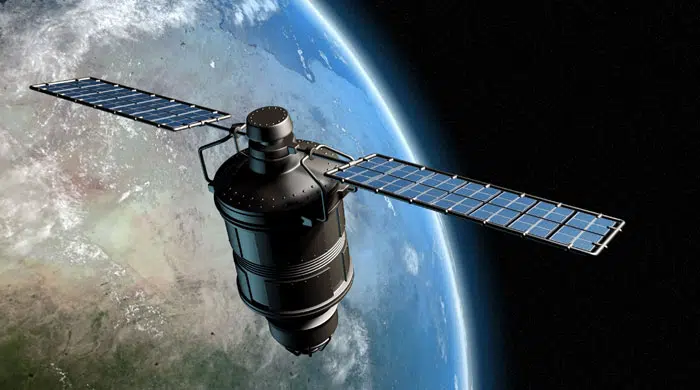
Remote Sensing Services
At AKAAM Tech, we understand the critical role that remote sensing plays in capturing, analyzing, and interpreting data for informed decision-making. Our team of skilled professionals combines expertise in IT, geospatial analysis, and remote sensing to deliver comprehensive services tailored to the specific needs of our clients.
With a commitment to innovation and cutting-edge technology, we specialize in providing unparalleled solutions that harness the power of remote sensing to address the unique challenges faced by businesses and organizations across the Kingdom. Below are some of the remote sensing services we offer:
-
· Change Detection
· Mining & Geology Mapping
· Project Monitoring
· Enviornmental Assesment
· Land Cover Classification
· Planning
-
· Watershed Management
· Statelite Imagery Interpretation and Classification


